Описание
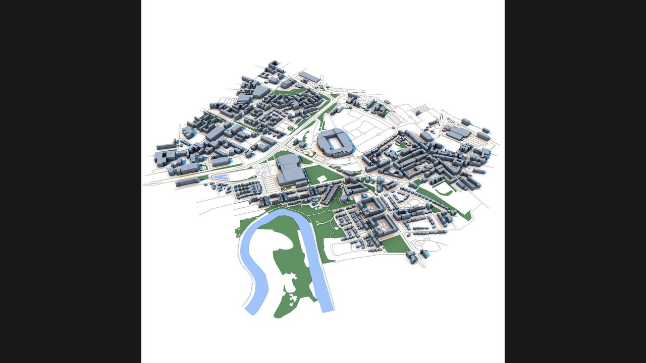
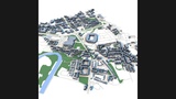
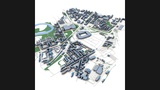
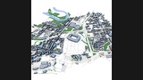
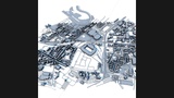
Explore the urban landscape surrounding Celtic Park, one of Scotland's most iconic football stadiums, located in the eastern district of Glasgow. This detailed 3D city model captures the stadium area and its surrounding neighborhoods, transportation infrastructure, residential districts, commercial zones, public spaces, and the distinctive urban character of Scotland's largest city.
The model accurately represents Celtic Park and the surrounding urban environment, including nearby streets, residential blocks, green spaces, transportation corridors, and important city infrastructure. The area reflects Glasgow's industrial heritage, modern redevelopment projects, and vibrant sporting culture centered around one of Europe's most famous football venues.
Created from real-world geographic and urban data, this model provides an accurate representation of building footprints, road networks, public spaces, and city structure. The combination of a world-famous stadium, dense urban fabric, and riverfront landscape makes this model ideal for a wide range of visualization and planning applications.
Perfect for architectural visualization, sports venue presentations, urban planning studies, digital twin development, transportation analysis, game environments, film production, VR/AR experiences, educational projects, and smart city simulations.
Perfect ForArchitectural visualization
Sports venue presentations
Urban planning projects
Digital twin development
Transportation studies
Geographic analysis
Game development
Film and VFX production
VR and AR experiences
Educational projects
Infrastructure visualization
Smart city applications
Key FeaturesCeltic Park stadium area
Detailed Glasgow urban layout
Real-world geographic accuracy
Residential neighborhoods
Commercial districts
Transportation infrastructure
Road and street networks
Parks and green spaces
Authentic building massing
Urban redevelopment zones
Optimized geometry
Professional visualization quality
Included FormatsC4D
FBX
OBJ
Technical NotesBased on real-world geographic and urban data
Clean scene organization
Compatible with Blender, Cinema 4D, 3ds Max, Maya, Unreal Engine and Unity
Suitable for visualization, simulation and interactive applications