

説明
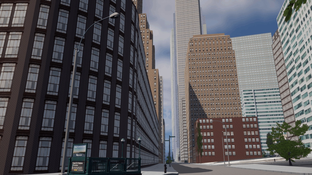
Geopipe offers digital twins of the real world. These models have been generated from real world data with the help of machine learning to produce high quality semantically labeled 3D Models. Our models include real world features including trees, roads, sidewalks in addition to the terrain and buildings. Additional features are like city benches, subway stations, street lights, etc.
Utilizing the Geopipe portal you can select locations in various cities around the world. You can then incorporate the models and semantic labels into your application, game, or experience.
Geopipe supports multiple 3D formats including FBX and GLTF files so you can choose which format works best for your workflow without getting locked into a proprietary ecosystem.
Geopipe supports streaming your area of interest right into Unreal Engine using the Cesium for Unreal plugin.
For additional information regarding model import, streaming, metadata, and more visit our Geopipe Developer Portal.