
Descrição
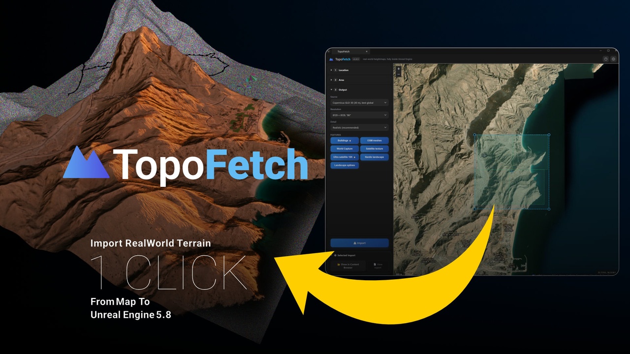
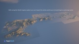
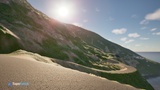
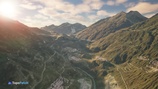
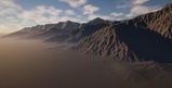
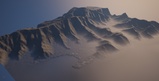
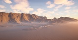
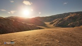
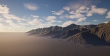
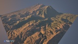
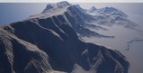
Turn any place on Earth into a finished, game-ready landscape in one click: real elevation, satellite texture mapped 1:1, real 3D buildings, roads and paint-ready terrain layers, all fully inside the Unreal Editor.
TopoFetch
Youtube Tutorial
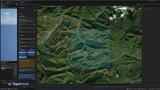
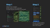
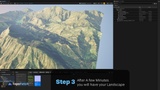
TopoFetch builds complete real-world landscapes without leaving the Unreal Editor. Open the TopoFetch tab, pick any location on the satellite map, draw an exact square, choose a resolution and press Import. The finished Landscape actor appears in your level: true 1:1 scale, sea level at world height 0, the correct component layout, and the material already assigned. No values to copy, no external tools, no GIS knowledge needed.
REAL SATELLITE TEXTURE: The actual satellite photo of your square is applied to the landscape material with an exact 1:1 mapping, up to 16K, or up to 16K effective with the Ultra Satellite option on World Partition maps. Every road, field and rooftop lines up with the terrain underneath.
REAL 3D BUILDINGS: Every mapped building is imported as real 3D geometry: true footprint, true height, including multi-part towers. One combined static mesh with clean normals and UVs, placed exactly on the terrain.
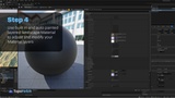
PAINT-READY TERRAIN OUT OF THE BOX: The landscape arrives with eight real paint layers already registered and hand-paintable (ground, road, water bed, snow, gravel, scree, rock, vegetation), driven by an included full PBR layered material, no manual weightmap setup required.
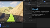
ROADS AS EDITABLE LANDSCAPE SPLINES: Major roads are also built as native, editable Landscape Splines at their real widths with connected junctions, ready to drag, retexture or feed into PCG, alongside the flattened road surface itself.
WORLD CAPTURE, BUILD A WHOLE WORLD: Your first import becomes the project's geographic anchor. Every later import is placed automatically at its true real-world offset, and the selection square snaps to your previous tiles on the map. Grow your world one square at a time, any day, and everything stays aligned.
TERRAIN QUALITY: Worldwide real elevation data (with an extra-detail source for the United States), resampled with anti-aliased bicubic filtering. Gentle hydraulic and thermal erosion plus micro-detail extracted from the real satellite photo, carefully capped so real geometry is never broken. Sea areas are merged with real ocean-floor bathymetry with a natural sloping shoreline, and narrow straits and harbours get a guaranteed minimum depth so a water plane at Z=0 never overlaps the terrain. Rivers and lakes are sculpted into the terrain automatically.
REAL SNOW: Snow is detected in the actual satellite photo, validated against elevation with a learned snow line, shed from very steep faces, and wired into the material as a snow layer you can tune with one parameter.
AND EVERYTHING ELSE: A detail normal map built from the real satellite photo for close-up relief. Per-project import history with map overlays, instant cached re-imports, a live time estimate and a cancel button. Modern dark UI that matches the Unreal Editor, with tooltips on every option.
NANITE LANDSCAPE: TopoFetch can build the landscape as Nanite with a dedicated displacement-ready material. to be able use Nanite Tesselation for Displace map Use on Landscape.
REQUIREMENTS: Windows editor, Unreal Engine 5.8 or newer. Uses the built-in Python Editor Script and Geometry Script plugins. Internet connection required during import. Elevation data needs a free OpenTopography API key (no credit card, takes about 2 minutes, the plugin guides you through it on first launch).
Elevation data © OpenTopography. Map data © OpenStreetMap contributors. Imagery © Esri, Maxar, Earthstar Geographics. This product is an independent tool and is not affiliated with, endorsed by, or sponsored by Epic Games, OpenTopography, OpenStreetMap, or Esri. Each data provider's own terms of use apply to how their data may be used, including in commercial projects; it is the user's responsibility to review and comply with those terms for their specific use case.
Developed by Hamed Tayebi.