説明
Objects Information:
====================================
Object: buildings
- Points: 512224
- Polygons: 364669
------------------------------------
Object: roads
- Points: 648082
- Polygons: 460823
------------------------------------
Object: water
- Points: 5630
- Polygons: 4521
------------------------------------
Object: vegetation
- Points: 40938
- Polygons: 32147
------------------------------------
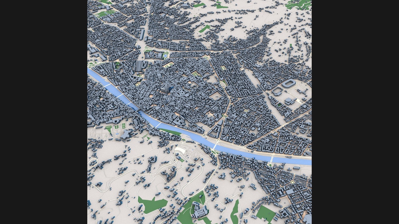
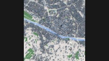
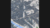
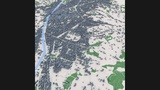
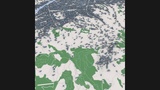
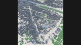
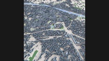
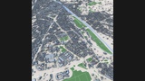
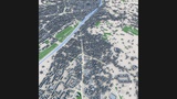
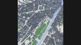
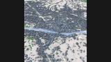
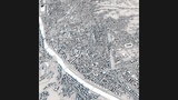
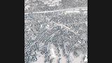
Explore Florence, one of the world's most celebrated historic cities and the birthplace of the Renaissance, recreated as a highly detailed 3D urban model. Located in the heart of Tuscany, Florence is renowned for its extraordinary artistic heritage, medieval street network, iconic architecture, and centuries of cultural influence.
This detailed city model captures Florence's dense historic center, residential neighborhoods, commercial districts, public squares, transportation infrastructure, parks, and the distinctive urban fabric that developed along the banks of the Arno River. The city's compact medieval core, historic landmarks, and surrounding urban districts create one of Europe's most recognizable cityscapes.
Built from real-world geographic and urban data, the model accurately represents Florence's street layout, building footprints, urban blocks, river corridors, and major city features. The combination of Renaissance history, architectural significance, and modern urban development makes Florence an exceptional subject for visualization, simulation, and educational projects.
Perfect for architectural visualization, urban planning studies, digital twin development, geographic analysis, virtual tourism, historical research, game environments, film production, VR/AR applications, and smart city presentations.
Perfect ForArchitectural visualization
Urban planning projects
Digital twin development
Historical city studies
Geographic analysis
Virtual tourism
Educational projects
Game development
Film and VFX production
VR and AR experiences
Infrastructure visualization
Smart city presentations
Key FeaturesDetailed Florence city layout
Real-world geographic accuracy
Historic city center
Arno River urban corridor
Medieval street network
Residential districts
Commercial and mixed-use areas
Public squares and civic spaces
Parks and green areas
Authentic building massing
Optimized geometry
Professional visualization quality
Included FormatsC4D
FBX
OBJ
Technical NotesBased on real-world geographic and urban data
Clean scene organization
Compatible with Blender, Cinema 4D, 3ds Max, Maya, Unreal Engine and Unity
Suitable for visualization, simulation and interactive applications