Descrizione
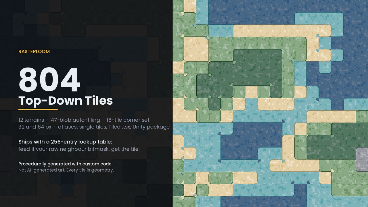
Twelve top-down terrains that snap together on their own — and the lookup table that makes them do it.
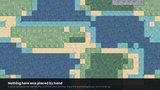
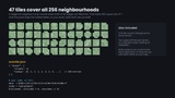
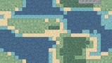
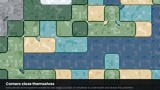
Every terrain ships the complete 47-tile blob set, so any shape you paint — a lake, a dirt path, a cave floor, a coastline — closes its own edges and corners correctly. There are no transition tiles to place by hand. A blob tile is transparent outside its terrain, so it sits on whatever is underneath it, and that is what draws the coastline.
47 is not a marketing number. A cell looks at its eight neighbours, which is 256 states. A diagonal only changes the silhouette when both of its adjacent edges are filled too. Collapse the states that cannot differ and exactly 47 shapes remain. This pack ships that collapse as a 256-entry lookup table, so your code is three lines: build the mask from the eight neighbours, read the index out of the table, blit column index % 8 and row index / 8 from the sheet.
What is in it
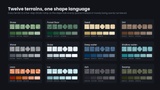
12 terrains — grass, forest floor, sand, dirt, stone, snow, deep water, shallow water, lava, ice, ash, swamp.
Per terrain, at 32 px and at 64 px:
47 blob tiles — the full auto-tiling set, each file named by its bitmask
16 corner tiles — 2-corner Wang, cut from the same underlying shape, so the two systems line up if you mix them on one map
4 fill variants — for the fully-surrounded cell, so a large open field does not read as one stamped texture
804 tiles per size. 1,608 PNG files. 72 atlas sheets and 48 Tiled tilesets.
The Unity package imports all 1,608 sprites with the settings already correct: Sprite (2D and UI), Point filter, mip maps off, compression off, and Pixels Per Unit set to the tile size, so one tile is exactly one Tilemap cell and the Grid cell size is (1, 1, 0).
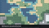
The additional files download adds the atlas sheets, the loose PNGs, autotile.json with the 256-entry lookup table and every terrain ramp, ready-made Tiled .tsx tilesets, import notes for Unreal Paper2D and Godot 4, demo maps built by the auto-tiler with nothing placed by hand, and an offline HTML browser for every tile.
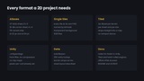
Formats and engines
PNG, RGBA, 32 and 64 px, no padding, no spacing
Unity — the included package, or the sheets with Sprite Mode Multiple and Grid By Cell Size
Unreal, Paper2D — Tile Set, tile size = tile size, margin 0, spacing 0
Godot 4 — atlas source; works with the "Match Corners and Sides" terrain mode too
Tiled — .tsx files included, relative image paths
Anything else — read autotile.json
One setting matters everywhere: point or nearest filtering, and no mip maps. These are small tiles with a one-pixel rim, and bilinear filtering bleeds the transparent border into the terrain edge the moment the camera sits off a whole pixel.
How it was made
Every file is procedurally generated with custom code. The tile shapes are geometry on a lattice: filled cells, with convex corners rounded outward and concave corners rounded inward by the same radius. The colours are five-step ramps through OKLab, a perceptual colour space, laid over seamless value noise and posterised onto the ramp steps so a 32 px tile still reads. Nothing traced, nothing sampled from a photograph, nothing produced by an image generator.
Verified, not assumed
Each tile quadrant touches exactly one lattice point, the place where four cells meet, and the art in that quadrant is a pure function of those four cells. Two tiles placed side by side share a lattice point and compute from the same four cells, so their edges agree by construction rather than by eye. That is checked end to end: a random map is built twice, once by stamping tiles out of the shipped sheets through the shipped lookup table, and once by evaluating the underlying shape directly across the whole map with no bitmask and no lookup anywhere. The two images have to come out the same. They do.