
Description
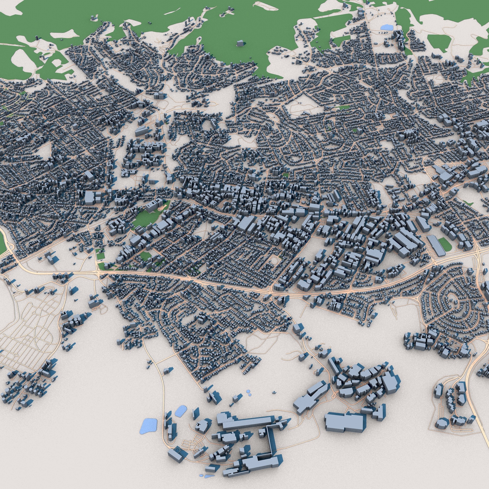
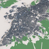
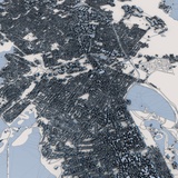
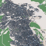
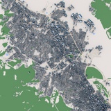
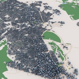
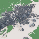
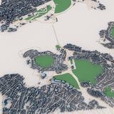
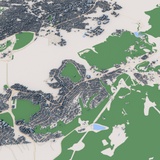
Explore Hobart, the capital city of Tasmania and one of Australia's most scenic waterfront destinations, with this highly detailed 3D city model. Situated between the Derwent River and the foothills of Mount Wellington (Kunanyi), Hobart is renowned for its unique combination of historic architecture, modern urban development, coastal landscapes, and natural surroundings.
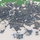
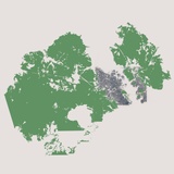
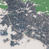
This detailed 3D city map accurately captures Hobart's urban structure, including the central business district, residential neighborhoods, road networks, parks, waterfront areas, commercial zones, and surrounding suburban developments. The model highlights the city's distinctive terrain, characterized by rolling hills, coastal features, and the dramatic landscapes that make Hobart one of Australia's most recognizable cities.
Generated from real-world geographic and urban data, the model provides an accurate representation of building footprints, transportation infrastructure, green spaces, and city layout. Its combination of dense urban districts, suburban neighborhoods, and natural landscapes makes it suitable for a wide range of professional and creative applications.
Perfect for architectural visualization, urban planning, geographic analysis, digital twin projects, game development, film production, VR/AR experiences, educational presentations, tourism visualization, and smart city simulations.
Perfect ForArchitectural visualization
Urban planning projects
Digital twin development
Tourism presentations
Geographic analysis
Infrastructure studies
Game development
Film and VFX production
VR and AR experiences
Educational projects
Environmental visualization
Smart city applications
Key FeaturesDetailed Hobart city layout
Real-world geographic accuracy
Central business district
Residential neighborhoods
Commercial areas
Road and transportation networks
Parks and green spaces
Waterfront districts
Suburban developments
Terrain-aware city structure
Optimized geometry
Professional visualization quality
Included FormatsC4D
FBX
OBJ
Technical NotesBased on real-world geographic and urban data
Clean scene organization
Compatible with Blender, Cinema 4D, 3ds Max, Maya, Unreal Engine and Unity
Suitable for visualization, simulation and interactive applications