설명
Objects Information:
====================================
Object: buildings
- Points: 254262
- Polygons: 183351
------------------------------------
Object: vegetation
- Points: 67624
- Polygons: 52543
------------------------------------
Object: water
- Points: 2458
- Polygons: 1973
------------------------------------
Object: roads
- Points: 387018
- Polygons: 273529
------------------------------------
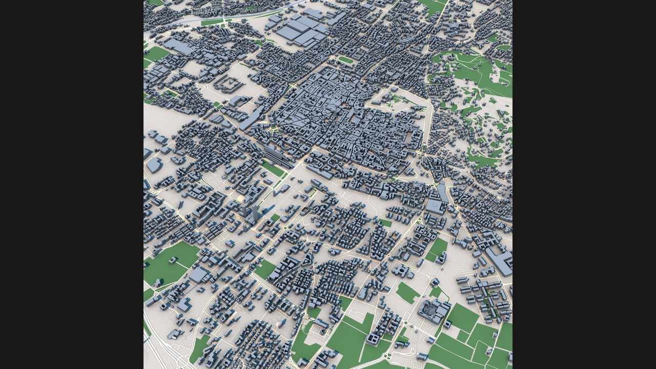
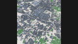
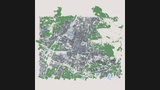
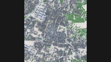
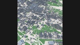
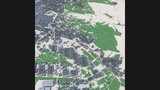
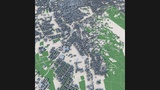
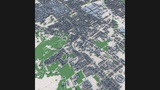
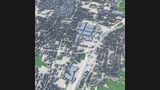
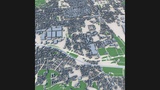
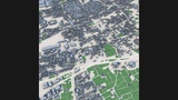
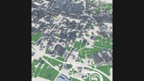
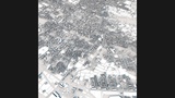
Explore Brescia, one of Northern Italy's most important historic cities, recreated as a highly detailed 3D urban model. Located in the Lombardy region between Milan and Lake Garda, Brescia combines over two millennia of history with modern urban development, creating a distinctive and visually rich cityscape.
This detailed city model captures Brescia's dense historic center, characterized by its compact medieval street network, public squares, residential districts, commercial zones, transportation corridors, parks, and surrounding urban neighborhoods. The city's layered urban fabric reflects Roman origins, medieval growth, Renaissance influences, and contemporary expansion.
Built from real-world geographic and urban data, the model accurately represents the city's overall structure, street patterns, building footprints, and key urban features. Brescia's mix of historic architecture, industrial heritage, and modern development makes it an excellent subject for visualization and simulation projects.
Suitable for architectural visualization, urban planning studies, geographic analysis, digital twin applications, virtual tourism, educational projects, game environments, film production, VR/AR experiences, and smart city presentations.
Perfect ForArchitectural visualization
Urban planning projects
Digital twin development
Historical city research
Geographic analysis
Virtual tourism
Game development
Film and VFX production
Educational applications
Infrastructure visualization
Urban simulation
Smart city presentations
Key FeaturesDetailed Brescia city layout
Real-world geographic accuracy
Historic urban center
Medieval street network
Residential districts
Commercial and mixed-use areas
Public squares and civic spaces
Transportation infrastructure
Parks and green areas
Authentic building massing
Optimized geometry
Professional visualization quality
Included FormatsC4D
FBX
OBJ
Technical NotesBased on real-world geographic and urban data
Clean scene hierarchy
Compatible with Blender, Cinema 4D, 3ds Max, Maya, Unreal Engine and Unity
Suitable for visualization, simulation and interactive applications