
説明
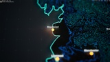
🎉UPDATE 2024-04-25: Added lat long blueprint to place items according to latitude and longitude! 🎉
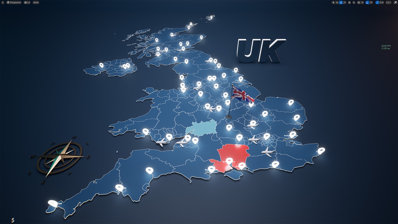
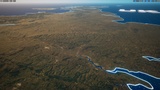
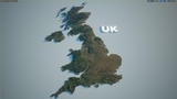
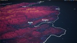
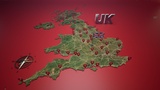
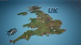
Elevate your game development, cinematic creation, and interactive experiences with Openclay's meticulously crafted UK Map, exclusively on the Unreal Engine Marketplace. This asset is tailor-made for content creators who seek to bring regional narratives and experiences to life with exceptional detail and precision.
Features
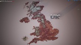
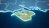
- High detail terrain with 27 million polygons [optimized from over 1 billion].
- Intricate texture resolution, spanning 70,000 pixels from north to south and 30,000 pixels from east to west, the map offers excellent color fidelity at a 30m per pixel resolution.
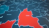
- Comprehensive regional elements - each state/province/region on the map is equipped with a fill, outline, and mesh label, making it a easier to depict regional stories with accuracy.
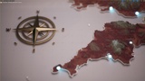
- Versatile Mercator projection (Note: Not currently configured for use with the Geo-Referencing plugin).
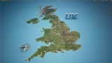
- Two lighting scenarios: One level designed using Epic's sun and sky system. One level using a studio lighting setup.
- The Studio version can be directly copied into Ultimate World Map as it fits the country outlines.
If you like it, please review! It motivates us to improve the project. If you have questions or suggestions for improvements please let us know. Thank you!
🗿 MESHES
State/Province/Regions
232 text label meshes (1 per region)
288 outline meshes [non contiguous regions have multiple meshes]
288 flat fill meshes [non contiguous regions have multiple meshes]
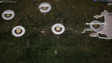
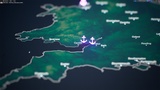
Populated Locations
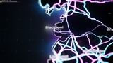
56 populated locations
56 text labels
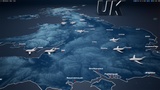
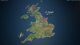
Infrastructure
17 airport locations
19 port locations
roads mesh (simple)
railroads mesh (simple)
🎨 TEXTURES & MATERIAL PARAMETERS
Color Map
~70,000 x 30,000 pixels of texture
Adjustable flat color visibility
Adjustable surface color desaturation control
Adjustable hue shift
Adjustable Contours
Color
Line thickness control
Vertical spacing
Intensity
Height Gradient
4 adjustable colors
Adjust vertical scale and offset
Visibility control
Illuminated Graphic Overlay
Adjustable color and intensity
Adjustable tiling
Normal Map
~70,000 x 30,000 pixels of texture
Normal flatness control
🔢 BLUEPRINTS
Arc - [creates an arc between two pivot points on the map] - scaled and intended for Large Level
Counter [counts between a high and low number] - scaled and intended for Large Level
Pop-up [animates a mesh popping up based on an animation curve] - scaled and intended for Large Level
Orbit Cam [rotates a camera around a focal point] - scaled and intended for Large Level
Animated cloth flag [studio scene]
⚠️ IMPORTANT NOTES:
This project does not include heightmaps.
This project is ~3.65 GB in size.
Please press play and then stop in the editor to execute the recommended console variables.
This project does not include functionality/logic to change the color or features interactively at runtime.
📋 v0.7.1 released [2024-04-25]
Removed flag simulation issue for UE 5.1-5.3
Added simple Lat Long BP to place actors according latitude and longitude
📋 v0.6.3 released [2023-12-20]
Ultimate UK Map released!
🛰️ Sources:
This project uses data from NASA. Many thanks to NASA for their incredible work.