











Descripción
TRAILER (landscape materials not included in this pack)
All my REAL-WORLD heightmaps/terrains, including this one, are UNIQUE on Unreal Engine Marketplace because:
I use real-world data with the best possible resolution (most of the cases 1 meter horizontal precision and about 30 cm vertical precision). Resolutions higher than this are not possible because of the current technological limits.
I am the only one who's real-world heightmaps PRESERVE the real-world SCALE
My real-world heightmaps are not procedurally generated in some kind of software like World Machine or Gaea where a heightmap can be generated in minutes. Instead, I use pretty complex manual methods to transform the High Resolution Digital Elevation Models (DEM) into heightmaps which are in the end perfect copies of real terrains/landscapes. Because of this, creating a single real-world heightmaps can take up to 3 hours.
My real-world heightmaps are the only heightmaps from UE Marketplace which simultaneously respect all the above statements.
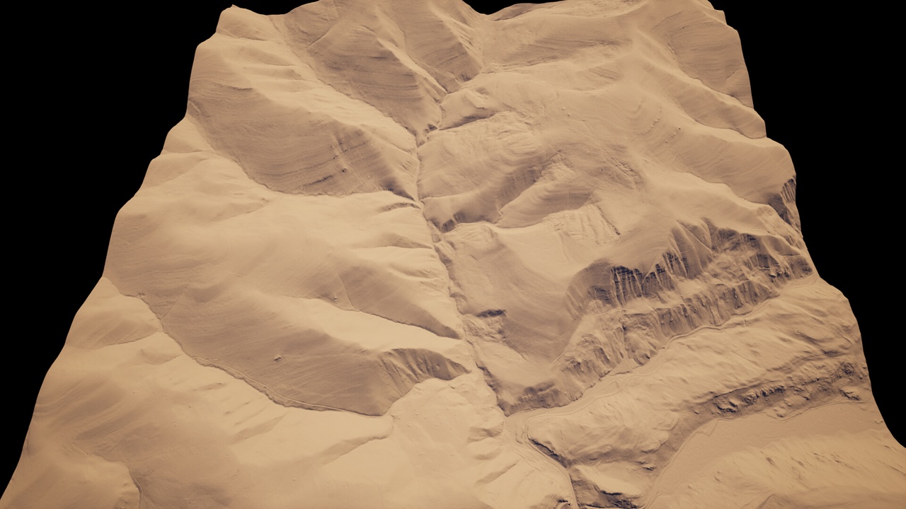
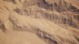
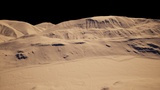
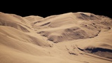
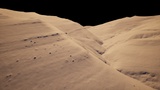
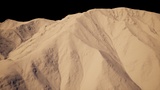
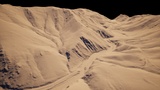
This pack contains 150 real-world PNG greyscale heightmaps, which will help you create in a few clicks in Unreal Engine, perfect copies of the USA landscape from the following states: Alabama, Arkansas, Connecticut, Delaware, Florida, Maine, Michigan, Missouri, North Dakota, Oregon and Pennsylvania. All heightmaps were created from Digital Elevation Models (DEM) with 1 meter horizontal precision and less than 30 cm vertical precision. Every heightmap is about 64 square KM and comes with an 8k resolution to give you the best possible quality with nowadays technology. The pack is perfect for any type of open world games, movies, cinematics and it also contains 4 example maps.
In order to keep the exact proportions of the real landscape, in the name of every heightmap you can find the X, Y and Z scales for that heightmap. For example, in the filename USA_III_115_XY_100_Z_202 , the X and Y scale is 100 and Z scale is 202. So type the correct XYZ scales and then press Import to import the heightmap into your level.