描述
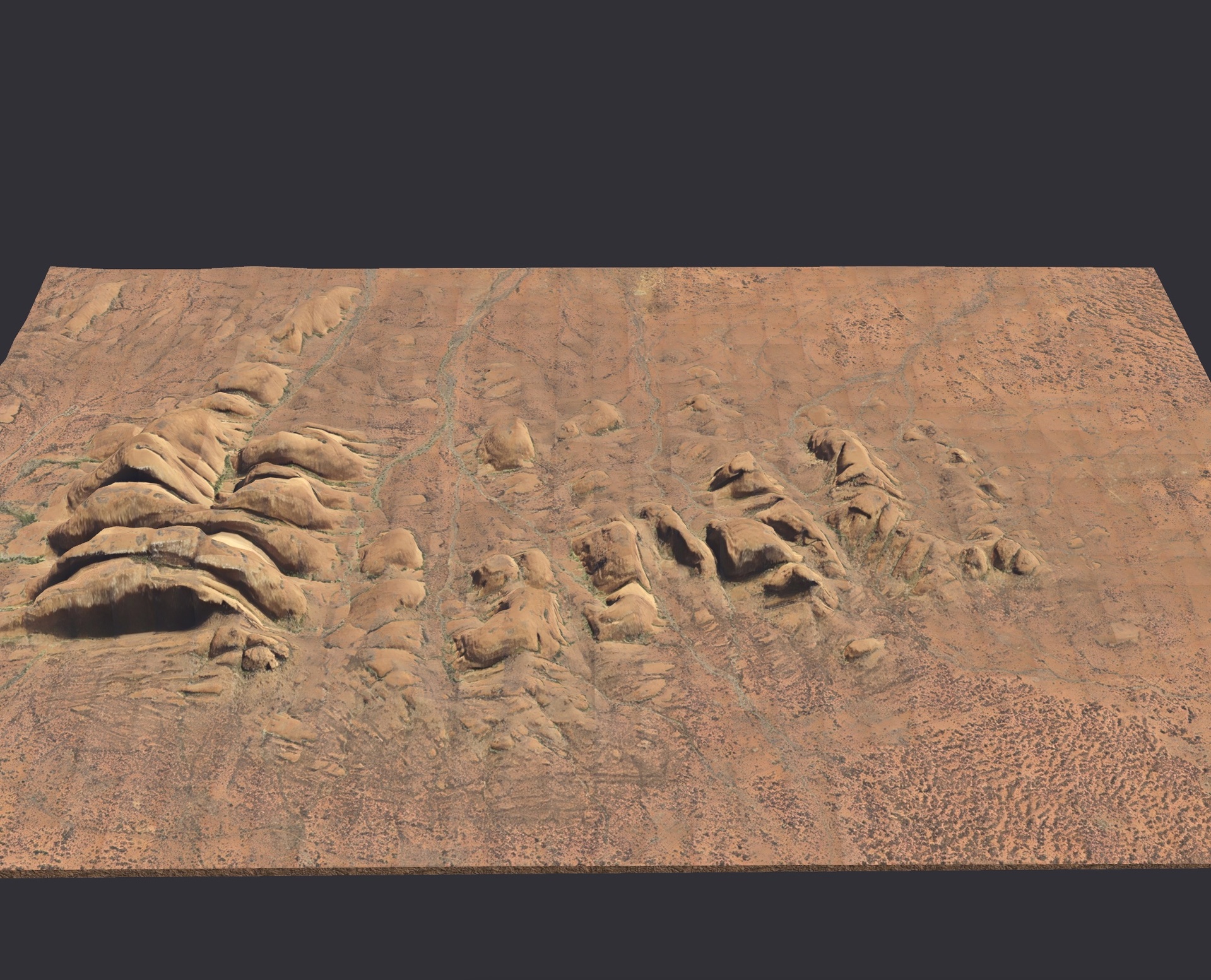
This high-quality 3D terrain model represents Kata Tjuṯa, a striking group of 36 large, domed rock formations covering over 20 km² in the heart of the Australian Red Centre. The domes rise up to around 546 metres above the surrounding plain. Known in the Pitjantjatjara language as “many heads”, Kata Tjuṯa is part of the world-heritage-listed Uluru–Kata Tjuṯa National Park. This model is suitable for game developers, educators, visualisers, VR/AR creators, and film environments needing a realistic Australian outback geological landmark.
FeaturesAccurate terrain geometry: The model is based on real-world elevation and contour data of the domed rock structures of Kata Tjuṯa.
Detailed surface textures: 4K PBR texture set including albedo, normal, roughness and height maps to reflect the unique conglomerate rock, erosion patterns, and sparse desert vegetation.
Optimised mesh topology: Balanced polygon count for real-time performance in Unity, Unreal Engine or similar, while retaining visible detail for close-up renderings.
Multiple export formats: Provided in FBX, OBJ, GLB and STL to ensure compatibility across platforms and pipelines.
True-to-scale proportions: The model preserves accurate relationships of dome height, width and spacing within the site footprint (~20 km²).
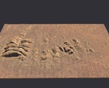
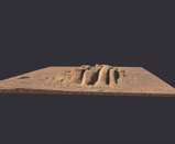
Ready to integrate: Includes wireframe screenshots, preview renders and a ReadMe guide for setup, scale calibration and usage tips.