
설명
Objects Information:
====================================
Object: buildings
- Points: 132057
- Polygons: 107141
------------------------------------
Object: vegetation
- Points: 8884
- Polygons: 6866
------------------------------------
Object: water
- Points: 578
- Polygons: 461
------------------------------------
Object: roads
- Points: 125976
- Polygons: 91602
------------------------------------
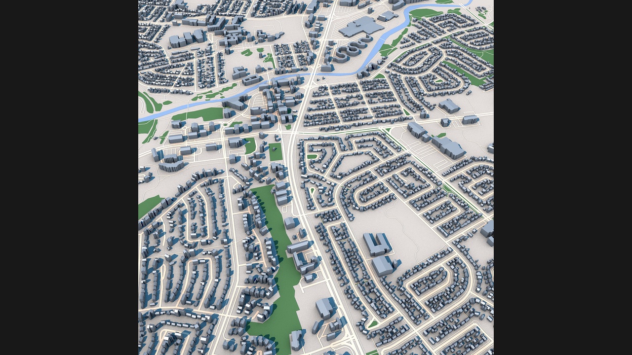
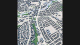
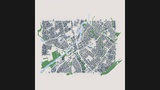
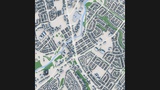
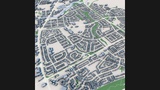
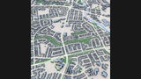
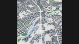
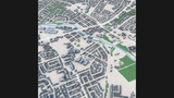
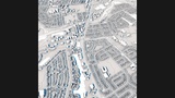
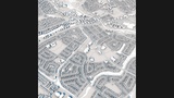
Explore Alberta City, Canada, with this highly detailed low-poly 3D city model based on real-world geographic and urban data.
This model accurately represents the city's urban structure, including residential neighborhoods, commercial districts, transportation corridors, parks, green spaces, waterways, and surrounding developments. The layout captures the characteristic street patterns and suburban planning commonly found in Canadian urban environments.
Generated from real-world geographic and urban data, the model provides an accurate representation of building footprints, road networks, green areas, and city infrastructure. Its clean low-poly geometry and organized structure make it suitable for a wide range of professional visualization and simulation projects.
ApplicationsArchitectural visualization
Urban planning projects
Digital twin development
Geographic analysis
Transportation studies
Tourism presentations
Game development
Film and VFX production
VR and AR experiences
Educational projects
Detailed Alberta city layout
Real-world geographic accuracy
Low-poly optimized geometry
Residential neighborhoods
Commercial districts
Road and transportation networks
Parks and green spaces
Water features and waterways
Building footprint accuracy
Professional visualization quality
C4D
FBX
OBJ
Based on real-world geographic and urban data
Clean scene organization
Low-poly optimized structure
Compatible with Blender, Cinema 4D, 3ds Max, Maya, Unreal Engine and Unity
Suitable for visualization, simulation, animation and interactive applications