

Description
🎉UPDATE 2024-05-23: Texture detail upgrade! 🎉
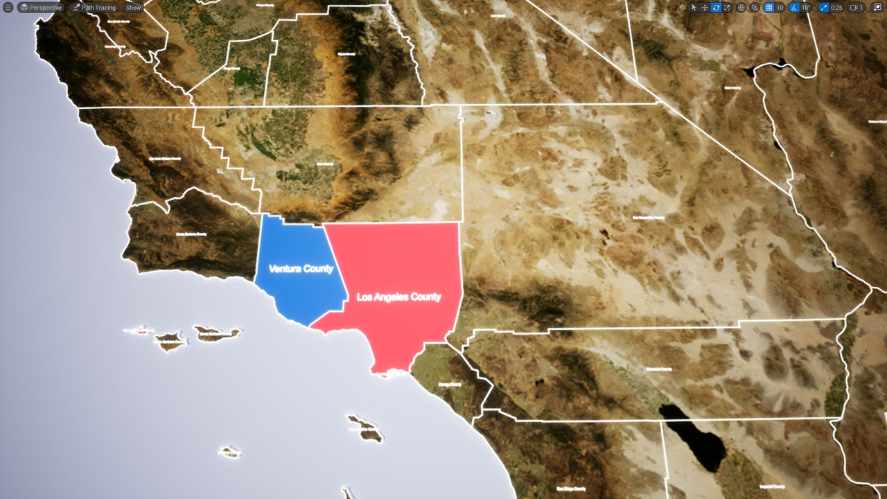
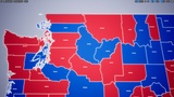
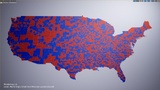
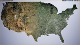
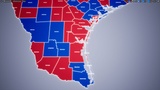
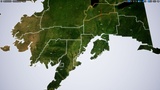
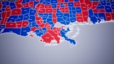
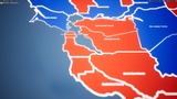
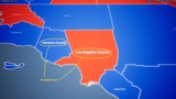
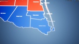
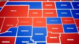
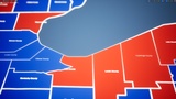
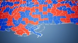
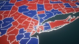
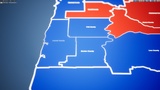
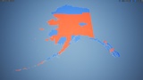
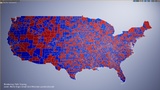
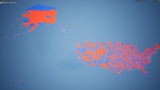
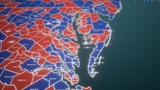
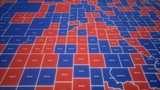
This is a map of 3141 counties of the United States of America, with each one as an individual mesh. Built for use in pre-rendered sequences, politically-focused graphics and interactive election trackers. This project includes separate mesh for each county area, county outline mesh, as well as county text label. Additionally, the contiguous United States has an 8k color texture that can be applied. Alaska has its own 8k color texture and Hawaii has a 2k color texture.
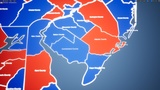
There are two levels in the project, one contains the US counties in Mercator location, which means the meshes are very far from the origin. The second level has the US counties shrunken down and moved to the origin, for ease of use and more appealing visual treatments (shown in gallery).
If you like it, please leave a review! It motivates us to improve the project. If you have suggestions for improvements please ask a question or let us know. Thank you!
Join our - Openclay Creator Discord!
Notes:
This project contains 10,400+ meshes which is not suited to real-time performance as the project runs at ~40-60 fps at 4k on an RTX3090.
Questions
If you have question, or not sure if this is right for your, please ask and we'll see how we can help.
Email: [email protected]
Version Log:
v 0.6.0 [released 23rd May, 2024]
- Texture upgrade! 8k texture added for contiguous USA, 8k texture for Alaska and 2k texture for Hawaii coverage.
v 0.5.2
- US Counties released!