


描述
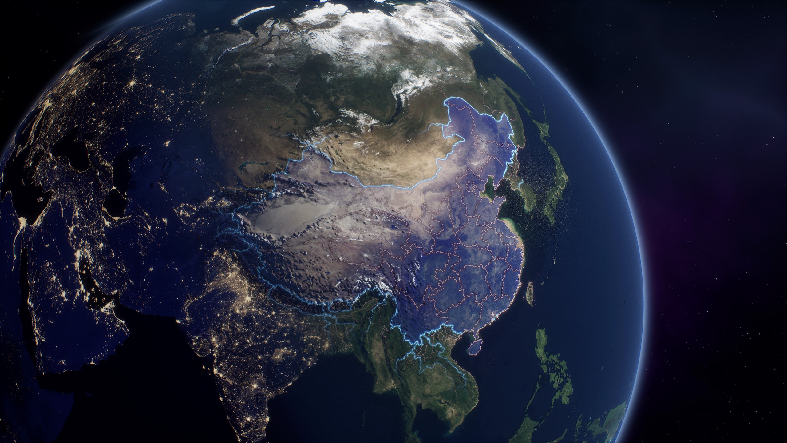
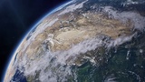
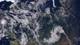
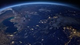
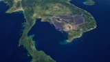
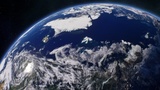
Earth Atlas 80K is a high-resolution, Blueprint-driven cinematic globe and country visualization project for Unreal Engine, designed for cinematic scenes, geographic presentations, motion graphics, and space-based visuals.
Full Documentation: Earth Atlas 80K Documentation
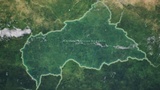
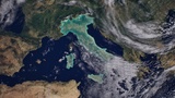
The project combines a detailed Earth surface with country highlighting, customizable country and province borders, country fills and labels, night-side city lights, a moving cloud layer, atmospheric lighting, and a multi-layer starfield with a stylized nebula background.
Earth and environment settings are controlled through exposed Blueprint parameters, while the included Earth Style Manager provides a dedicated interface for configuring, saving, and reusing country visualization styles. An optional geographic Camera Rig, Level Sequencer integration, and ready-to-use Movie Render Queue presets provide a complete workflow from scene setup to final cinematic rendering.
Required Plugins
This project requires the following built-in Unreal Engine plugins:
• Python Editor Script Plugin — required for the Sequencer / Level Sequence Editor workflow
• Modeling Tools Editor Mode — required by the project's Unreal Engine configuration for the Movie Render Queue workflow
• Movie Render Queue — required for the included rendering workflow
No third-party plugins are required.
Key Features
Up to 80K Earth surface and country boundary data for detailed orbital and close-up views
32K cloud layer and 40K night-side city lights in High Resolution mode
Blueprint-controlled country selection using a predefined country list
Country highlighting with customizable fill color, opacity, edge tint, and Standard / Overlay blending modes
Country and province border controls with customizable visibility, color, opacity, stroke appearance, and display modes
Country labels with customizable appearance and animatable opacity
Borders Falloff controls for limiting surrounding country borders around the selected country
Earth Style Manager for configuring, saving, restoring, and reusing visualization styles
Moving cloud layer with adjustable position, speed, density, opacity, and cloud shadows
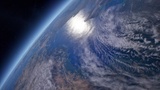
Atmospheric lighting and customizable multi-layer starfield with Base, Bright, and Accent star layers plus a separate Nebula layer
Optional geographic Camera Rig with latitude, longitude, altitude, distance, camera presets, and selected-country navigation
Level Sequencer integration for animating Earth, camera, lighting, clouds, country selection, and visualization parameters
Ready-to-use Movie Render Queue presets for Lit and Path Tracing in Full HD and 4K
Ready-to-use default scene and example Level Sequence
Blueprint-based setup — no C++ required
Designed For
Cinematic and documentary-style Earth shots
Geographic and country-focused visualizations
Motion graphics and broadcast-style map sequences
Space and orbital scenes
Unreal Engine cinematics and rendered presentations
Earth Atlas 80K combines high-resolution Earth visuals with flexible country visualization, animation, camera, and rendering tools, providing a ready-to-use foundation for both cinematic Earth imagery and country-focused visualizations.