설명
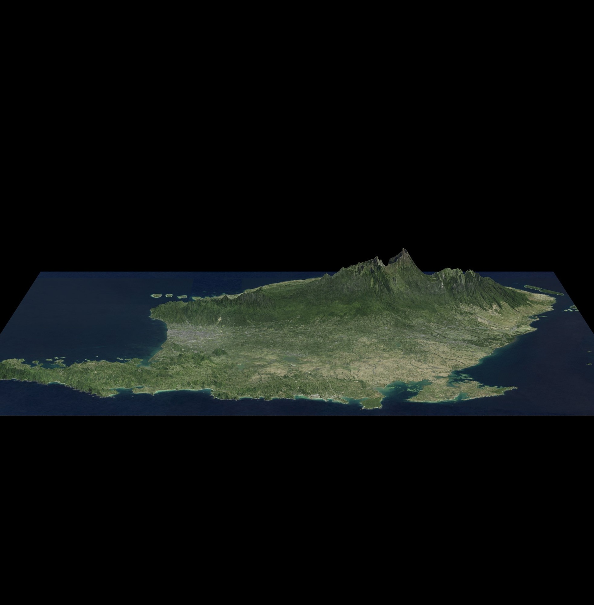
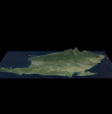
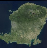
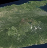
Discover Lombok Island in 3D – a beautiful neighbor of Bali, Indonesia!
This model captures the diverse topography of Lombok, including:
🌋 Mount Rinjani (3,726m) – the second-highest volcano in Indonesia with its crater lake Segara Anak
🏖️ Pristine beaches – Kuta, Senggigi, and the southern coastline
🏝️ The Gili Islands just off the northwest coast
🌿 Forests, valleys, and rural landscapes
🏙️ Mataram city & local villages
Perfect for:
Education – Geography and Earth sciences
Game developers & VR/AR creators – Use as a terrain base for realistic environments
Tourism & travel visualization – Promote Lombok’s natural wonders
3D mapping & planning – Urban, cultural, and ecological projects
📍 Location: Lombok, West Nusa Tenggara, Indonesia
🔍 Data Sources: Derived from open satellite and elevation data