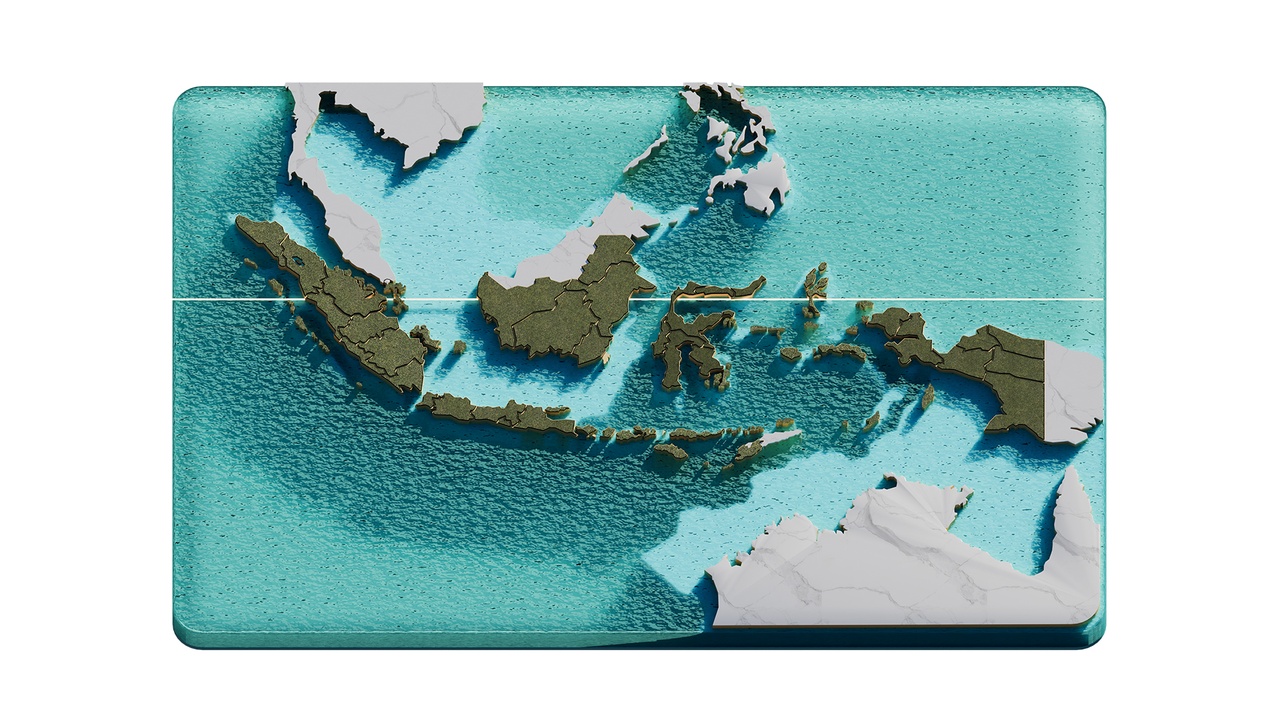
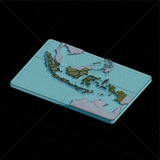
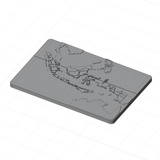
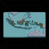
Isometric Indonesia Map With Equator Line
Indonesia Map with Equator Line 3D Render Illustration. Indonesia is the world's largest archipelagic state, comprising over 17,000 islands across Southeast Asia and Oceania. The equator is an imaginary circle around the Earth at zero degree latitude, located halfway between the North and South Poles.
Originally made in Blender, also available in FBX, and OBJ files.