Descrição
Objects Information:
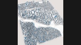
====================================
Object: buildings
- Points: 123406
- Polygons: 79986
------------------------------------
Object: vegetation
- Points: 480
- Polygons: 353
------------------------------------
Object: water
- Points: 1228
- Polygons: 1020
------------------------------------
Object: roads
- Points: 34470
- Polygons: 24756
------------------------------------
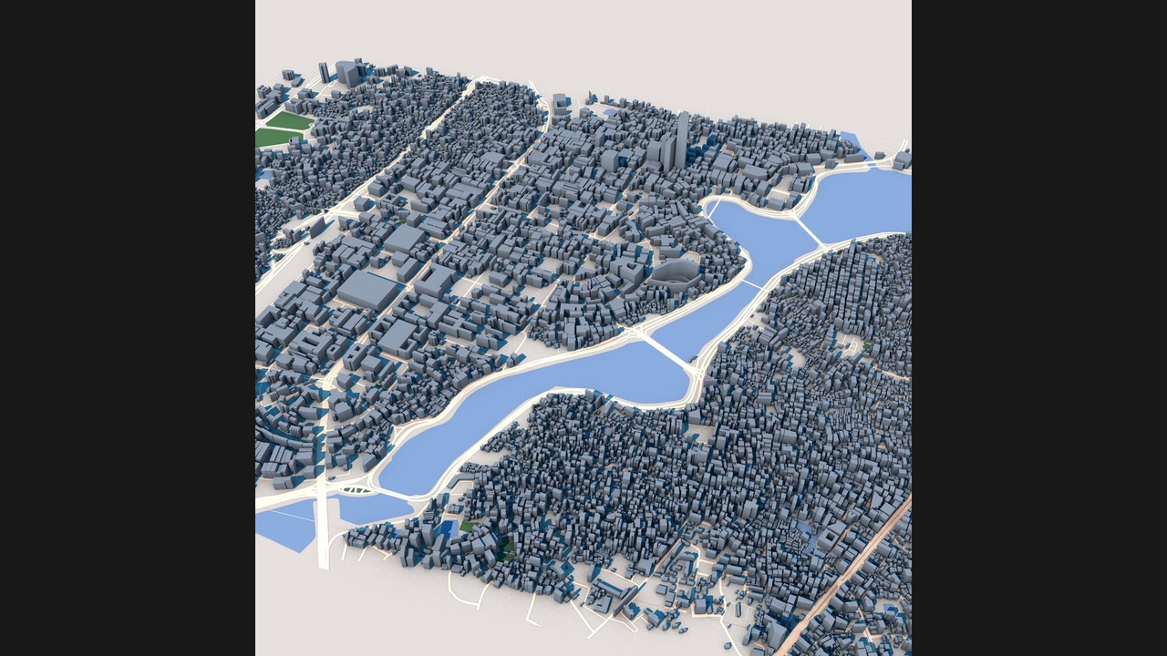
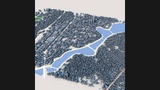
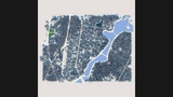
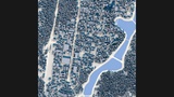
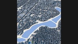
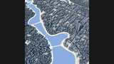
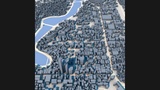
Explore Dhaka, the capital and largest city of Bangladesh, through this highly detailed 3D urban model. As one of the world's most densely populated megacities, Dhaka is a major center of culture, commerce, government, education, and industry in South Asia.
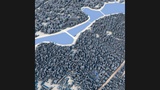
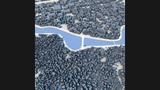
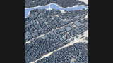
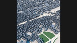
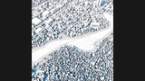
This detailed city model captures Dhaka's complex urban fabric, including dense residential districts, commercial centers, transportation networks, waterways, parks, public spaces, and rapidly developing metropolitan areas. The city's distinctive combination of historic neighborhoods, modern high-rise developments, and extensive river systems creates a unique and dynamic urban landscape.
Built from real-world geographic and urban data, the model accurately represents the city's overall structure, street networks, building footprints, and major urban features. Dhaka's remarkable density, diverse architecture, and strategic location along the Buriganga River make it an exceptional subject for visualization, simulation, and research projects.
Perfect for architectural visualization, urban planning studies, digital twin development, geographic analysis, infrastructure planning, educational projects, game development, film production, VR/AR experiences, and smart city applications.
Perfect ForArchitectural visualization
Urban planning projects
Digital twin development
Geographic analysis
Infrastructure planning
Smart city research
Educational applications
Virtual tourism
Game development
Film and VFX production
VR and AR experiences
Urban simulation
Key FeaturesDetailed Dhaka city layout
Real-world geographic accuracy
Dense metropolitan environment
Residential districts
Commercial and business zones
Transportation infrastructure
Urban waterways
Public parks and green spaces
Authentic building massing
Metropolitan street network
Optimized geometry
Professional visualization quality
Included FormatsC4D
FBX
OBJ
Technical NotesBased on real-world geographic and urban data
Clean scene hierarchy
Compatible with Blender, Cinema 4D, 3ds Max, Maya, Unreal Engine and Unity
Suitable for visualization, simulation and interactive applications