描述
Objects Information:
====================================
Object: buildings
- Points: 310851
- Polygons: 237615
------------------------------------
Object: vegetation
- Points: 2662
- Polygons: 2035
------------------------------------
Object: water
- Points: 756
- Polygons: 603
------------------------------------
Object: roads
- Points: 209669
- Polygons: 145790
------------------------------------
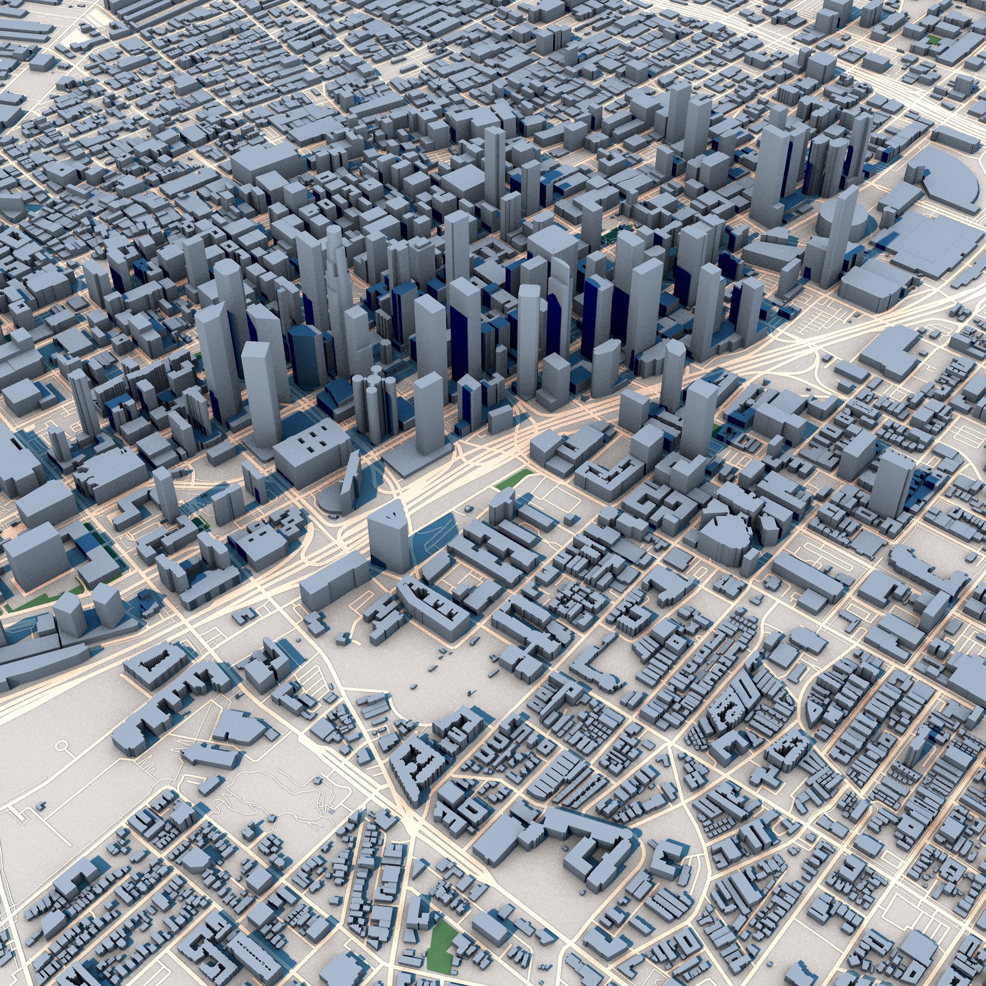
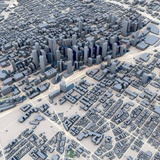
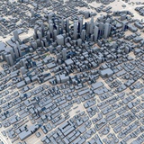
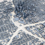
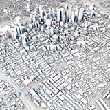
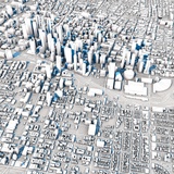
Explore the iconic urban core of Los Angeles with this highly detailed 3D city model featuring Downtown Los Angeles and its surrounding districts. This model captures one of the most recognizable skylines in the United States, including dense high-rise clusters, commercial centers, residential neighborhoods, transportation corridors, and the extensive street grid that defines Southern California's largest city.
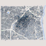
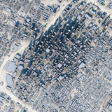
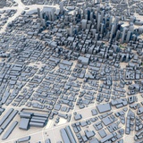
The model accurately represents Downtown Los Angeles and nearby urban districts, showcasing the contrast between the modern skyscraper skyline and the surrounding low-rise neighborhoods. Major roads, city blocks, public spaces, commercial developments, and transportation infrastructure are included, creating a realistic representation of the city's urban fabric.
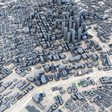
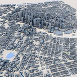
Generated from real-world geographic and urban data, this model provides an accurate depiction of building footprints, road networks, parks, and infrastructure. The combination of towering skyscrapers, extensive urban development, and the distinctive Los Angeles city layout makes it ideal for a wide range of visualization and simulation projects.
Perfect for architectural visualization, urban planning, digital twin development, transportation studies, film production, game environments, VR/AR experiences, educational projects, geographic analysis, and smart city applications.
Perfect ForArchitectural visualization
Urban planning projects
Digital twin development
Transportation studies
Geographic analysis
Game development
Film and VFX production
VR and AR experiences
Educational projects
Infrastructure visualization
Smart city simulations
Real estate presentations
Key FeaturesDowntown Los Angeles skyline
Detailed urban street network
Real-world geographic accuracy
High-rise business district
Residential neighborhoods
Commercial developments
Transportation infrastructure
Road and highway networks
Parks and public spaces
Authentic building massing
Optimized geometry
Professional visualization quality
Included FormatsC4D
FBX
OBJ
Technical NotesBased on real-world geographic and urban data
Clean scene organization
Compatible with Blender, Cinema 4D, 3ds Max, Maya, Unreal Engine and Unity
Suitable for visualization, simulation and interactive applications