
설명
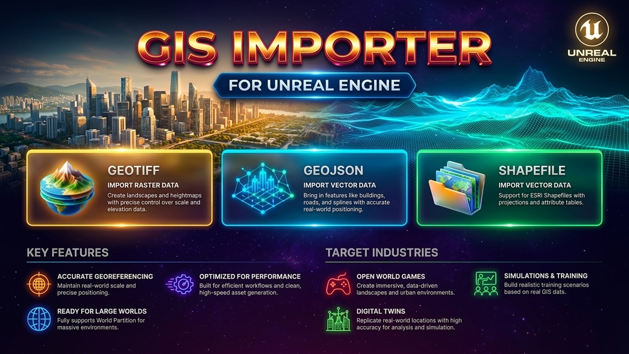
GIS Importer enables direct import of geospatial data into Unreal Engine for visualization, simulation, and analysis.
Supported Formats
GeoTIFF (.tif, .tiff): Raster data, elevation datasets, and imagery.
GeoJSON (.geojson, .json): Vector data (Points, Lines, Polygons).
Shapefile (.shp): Esri vector layers and attribute tables.
Key Features
GeoTIFF Import: Load rasters as a Textured Plane (unlit material quad) or a Heightmap Mesh (3D terrain grid).
GeoJSON & Shapefile Import: Convert GIS vector geometry types seamlessly into Unreal representations.
Attribute Table Import: Read and retain complete GIS metadata/properties.
GeoReferencing Integration: Full support for UE's native GeoReferencing plugin to maintain real-world spatial coordinates.
Workflow
Ensure a GeoReferencingSystem actor exists in your level.
Import your GeoTIFF, GeoJSON, or Shapefile data.
Utilize the processed data directly within your custom tools or Blueprints.
Use Cases
Geospatial data visualization & simulation systems.
Virtual environment prototyping.
Pipeline integration for GIS pipelines.