
説明
Objects Information:
====================================
Object: buildings
- Points: 626427
- Polygons: 449112
------------------------------------
Object: vegetation
- Points: 94858
- Polygons: 73501
------------------------------------
Object: water
- Points: 3630
- Polygons: 2893
------------------------------------
Object: roads
- Points: 522692
- Polygons: 372459
------------------------------------
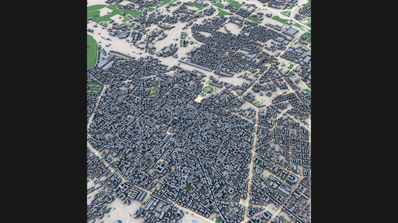
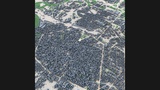
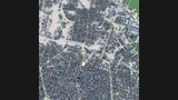
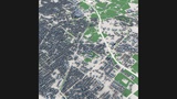
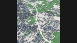
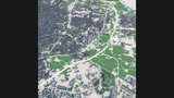
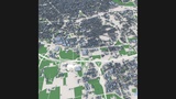
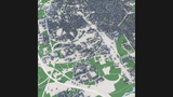
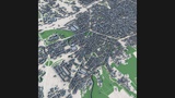
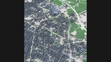
Discover Bologna, one of Italy's most historic and culturally significant cities, through this highly detailed 3D city model. Known as the capital of the Emilia-Romagna region, Bologna is famous for its medieval street network, extensive porticoes, iconic towers, prestigious university heritage, and remarkably preserved historic center.
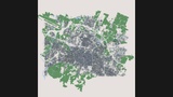
This model accurately represents Bologna's distinctive urban structure, featuring the dense medieval core, historic districts, residential neighborhoods, commercial areas, public squares, transportation infrastructure, parks, and modern developments. The city's characteristic radial street pattern and compact historic layout create one of the most recognizable urban landscapes in Europe.
Built from real-world geographic and urban data, the model showcases the complexity and architectural richness of Bologna's cityscape. The combination of centuries-old urban fabric and contemporary metropolitan growth makes it an exceptional resource for visualization, simulation, educational, and creative projects.
Ideal for architectural visualization, urban planning, digital twin development, geographic studies, virtual tourism, game environments, film production, historical research, VR/AR experiences, and smart city presentations.
Perfect ForArchitectural visualization
Urban planning projects
Digital twin applications
Historical city studies
Geographic analysis
Virtual tourism
Game development
Film and VFX production
VR and AR experiences
Educational projects
Infrastructure visualization
Smart city presentations
Key FeaturesDetailed Bologna city layout
Real-world geographic accuracy
Historic medieval city center
Radial street network
Residential and commercial districts
Public squares and urban spaces
Transportation infrastructure
Parks and green areas
Authentic building massing
Accurate urban structure
Optimized geometry
Professional visualization quality
Included FormatsC4D
FBX
OBJ
Technical NotesBased on real-world geographic and urban data
Clean scene organization
Compatible with Blender, Cinema 4D, 3ds Max, Maya, Unreal Engine and Unity
Suitable for visualization, simulation and interactive applications