

Descrizione
TRAILER (landscape materials and foliage used in this video are not included)
All my REAL-WORLD heightmaps/terrains, including this one, are UNIQUE on Unreal Engine Marketplace because:
I use real-world data with the best possible resolution (most of the cases 1 meter horizontal precision and about 30 cm vertical precision). Resolutions higher than this are not possible because of the current technological limits.
I am the only one who's real-world heightmaps PRESERVE the real-world SCALE
My real-world heightmaps are not procedurally generated in some kind of software like World Machine or Gaea where a heightmap can be generated in minutes. Instead, I use pretty complex manual methods to transform the High Resolution Digital Elevation Models (DEM) into heightmaps which are in the end perfect copies of real terrains/landscapes. Because of this, creating a single real-world heightmaps can take up to 3 hours.
My real-world heightmaps are the only heightmaps from UE Marketplace which simultaneously respect all the above statements.
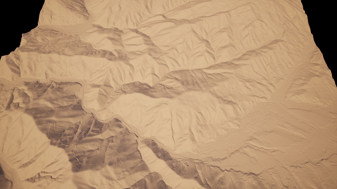
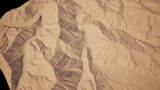
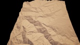
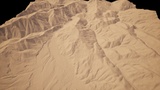
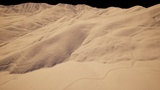
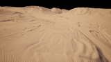
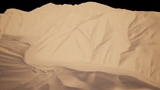
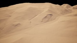
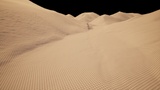
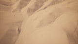
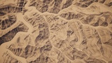
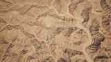
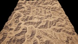
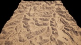
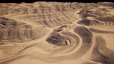
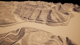
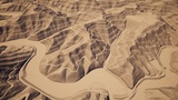
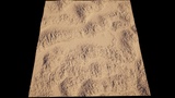
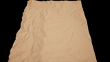
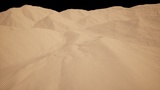
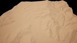
This pack contains 148 real-world PNG greyscale heightmaps which will help you digitally recreate in Unreal Engine, breathtaking landscapes from USA. I tried to offer as much diversity as possible so in this pack there are landscapes from 27 states: Arizona, California, Colorado, Georgia, Idaho, Illinois, Indiana, Iowa, Kansas, Kentucky, Los Angeles, Mississippi, Montana, Nebraska, New Hampshire, New Mexico, New York, Ohio, Oklahoma, Oregon, Tennessee, Texas, Utah, Virginia, Washington, Wisconsin, Wyoming. All heightmaps have a resolution of 8129 x 8129 (recommended by Unreal) and each landscape will have a surface area of about 64 square Km. To recreate these landscapes I used Digital Elevation Models with 1 meters precision so they are extremely accurate . The heightmaps (landscapes) are perfect for photorealistic scenes in games, movies or any other realistic open - world project.
Check my other packs here
In order to keep the exact proportions of the real landscape, in the name of every heightmap you can find the X, Y and Z scales for that heightmap. For example, in the filename USA_II_145_XY_100_Z_58 , the X and Y scale is 100 and Z scale is 58. So type the correct XYZ scales and then press Import to import the heightmap into your level.
This pack contains 6 Demo Maps.