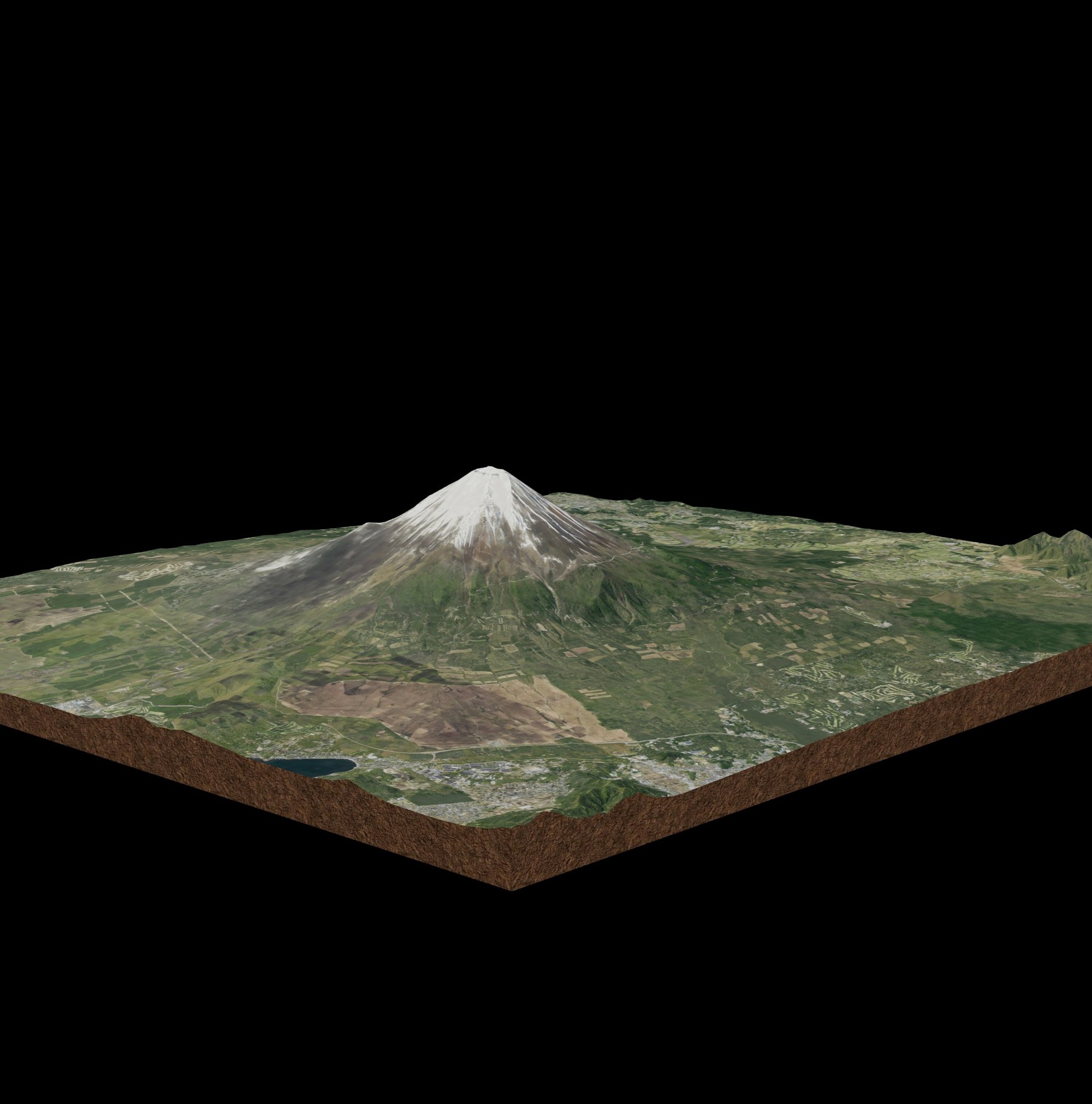

Description
Explore Mount Fuji (富士山, Fujisan) in stunning 3D!
Japan’s tallest and most iconic mountain is a UNESCO World Heritage Site, celebrated for its beauty and cultural importance. This 3D model showcases:
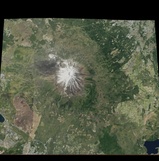
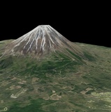
🗻 Mount Fuji’s symmetrical volcanic cone (3,776m)
🌄 Surrounding foothills and highlands
🏞️ The Five Lakes region (Fujigoko: Kawaguchi, Yamanaka, Sai, Motosu, and Shoji)
🌸 Seasonal landscapes – snow-capped peak, forests, and nearby towns
⛩️ Cultural and spiritual significance as a symbol of Japan
Perfect for:
Education – Geography, geology, and Japanese culture
Game developers & VR/AR creators – Use as a realistic terrain or landmark environment
Tourism & travel visualization – Promote Japan’s most famous landmark
3D mapping & research – Volcanology, terrain studies, and cultural projects
📍 Location: Honshu Island, Japan
🔍 Data Sources: Derived from open satellite and elevation data