Description
What better way to talk about the product than a video about it? Here's one we created showcasing it!
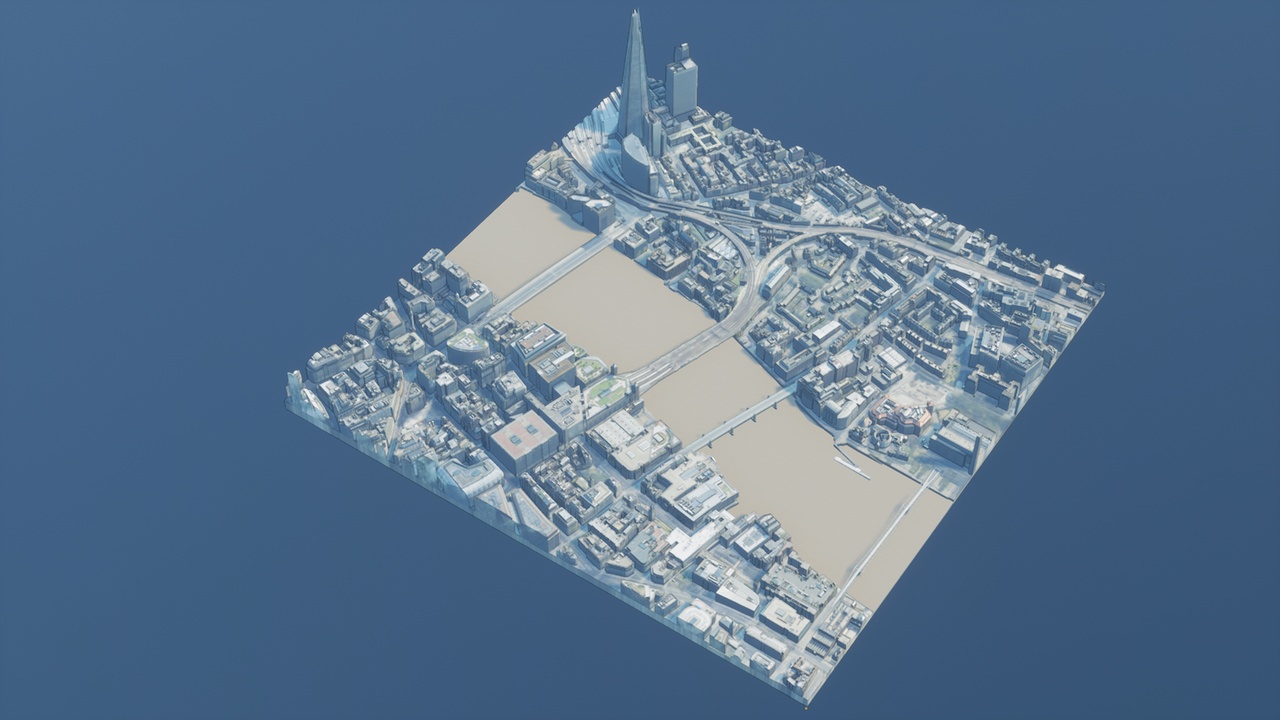
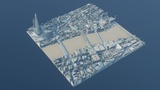
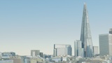
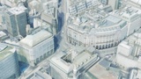
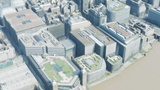
The AccuCities Textured Sample contains a 3d model that is both physically accurate to its real life counterpart, but which has also been improved using textures to better comprehend the built environment. This can be useful for a myriad of reasons - from backgrounds in a video game, to the set of a movie or any piece of digital entertainment, but without forgetting one if its foundational principles: the accuracy of our models ensures that the product is not only pretty, but can be used extensively across the AEC industry for any studies or analyses meant to be tackled there.
As you can see, its versatility is one of its strongest points. For that reason, we've included two different maps within this package - a separate one and a unioned version. The first one contains all of the different 3d models in a separate state, each containing a unique material instance with a 4k texture applied to it. On the other hand, the unioned version is a more optimised-sensible approach to rendering the whole scene, where we still keep different layers separate (terrain, roads, greenspaces) but where we've combined the buildings into four different chunks to alleviate the demands in terms of texture load.
IMPORTANT NOTICE:
For the Unreal Engine project files, please enable the Sun Position Calculator plugin in the project where you will be adding this asset pack to in order for the built-in levels to display correctly.
Also for the Unreal Engine project files, please note that it is meant to be used with dynamic lighting due to the lack of the second UV channel in the models.
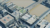
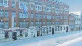
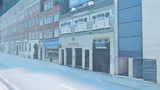
This is a product intended to be viewed at mid-range - the buildings and the different textures have a high enough resolution to be viewed at a distance of roughly 100 to 200 metres, but getting closer would expose some of the flaws in the mapping technique we've used.
The textures for each of the buildings or any other 3d model can be improved by tweaking its specific texture map, as each entity has been UVed.
Whilst the buildings are fully unwrapped, other more horizontal elements such as roads, the terrain or greenspaces have been unwrapped using a simple top-down projection, which works well most of the time for these types of elements. There could be some isolated cases where the side of one of those models is visible, in which case the texturing there would appear wrong.
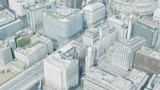
Certain parts of the buildings situated in "urban canyons" (usually the first two floors of those buildings that are directly next to a taller one) can look wrong, due to the limitations of the technique used in producing these textures. Whilst we will continue to work on improving these areas using other types of available imagery, we don't currently recommend taking pictures from the ground unless the area in question isn't located in an urban canyon or the textures are manually improved.