描述
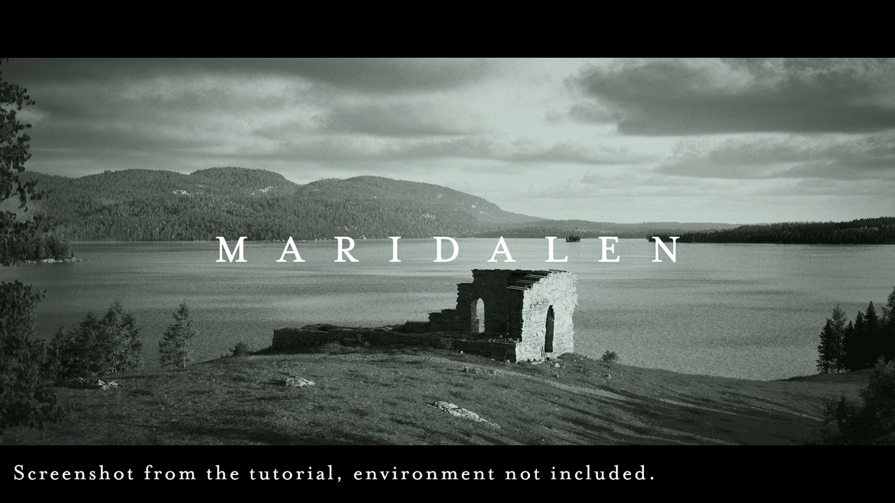
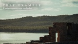
The Maridalen Ruins project is the result of a 3D Scan (Photogrammetry) from a real location found on the outskirts of Oslo, Norway. This is a free project that was created for the "Capturing Oslo's Medieval Ruins" workflow tutorial on YouTube: https://youtu.be/FjSAVJJ0w3I
Included in the project are the following:
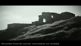
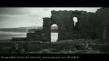
Maridalen Ruins Scan
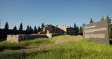
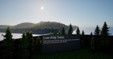
Low Poly trees intended for distant background use
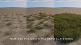
PCG Systems used for grass and roads shown in the video.
In regards to provided PCG Graphs, Megascans assets cannot be redistributed, so the Megascans Grass Meshes have been replaced with Placeholders. By opening the PCG graphs you can replace the placeholders with your own free megascans assets from FAB.